A technical mission carried out in Namibia and Angola between 15 and 26 September 2025, has laid the groundwork for major groundwater investigations in the Cuvelai-Etosha Basin under the CUVKUN Project. The project, known in full as the “Enhanced Water Security and Community Resilience in the Adjacent Cuvelai and Kunene Transboundary River Basins (CUVKUN)”, is funded by the Global Environment Facility (GEF) and led by the United Nations Deve lopment Programme (UNDP) as the GEF Implementing Agency. The Global Water Partnership Southern Africa (GWPSA) is the Executing Agency, while the Cuvelai Commission (CUVECOM) and Kunene Permanent Joint Technical Committee (PJTC) are the focal custodians of the project implementation.
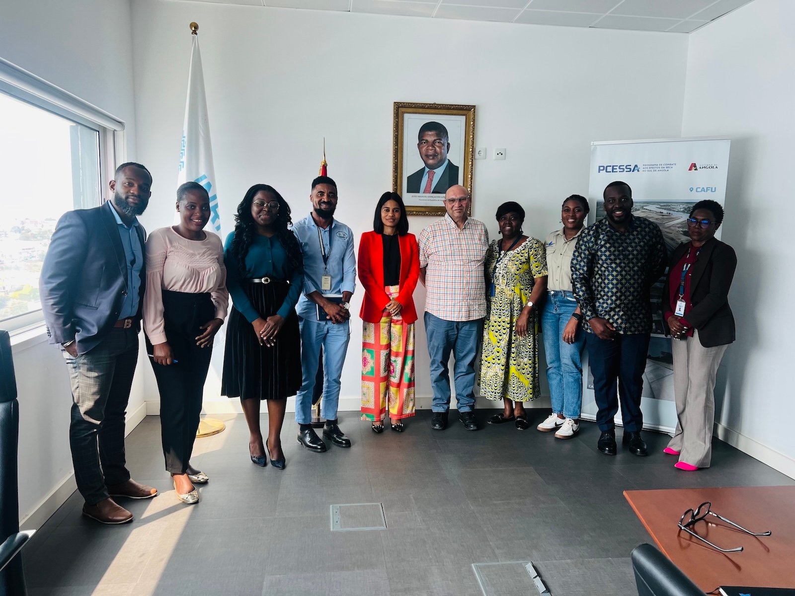
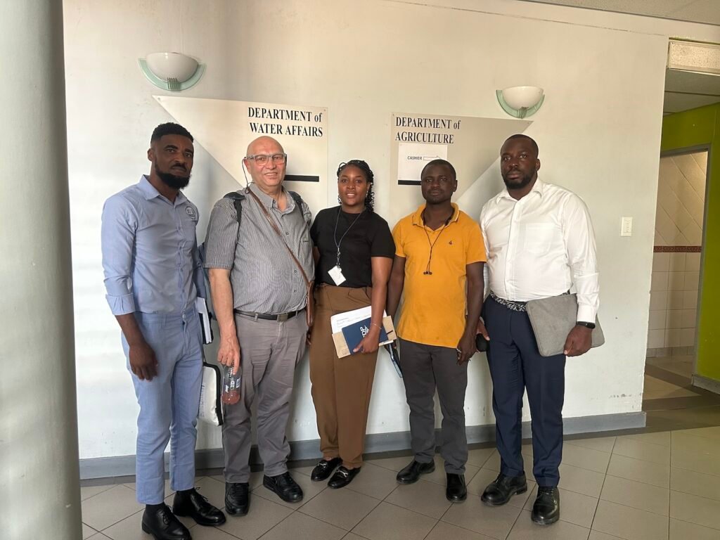
The mission brought together groundwater experts from the Project Management Unit, SADC-GMI, and the Cuvelai Groundwater Task Team to work with government institutions, water utilities, research organisations, and international partners across Windhoek, Ondangwa, Oshikoto, Ondjiva, Lubango, and Luanda.
One of the mission’s most important achievements was the identification and mapping of valuable groundwater and geophysical data that had previously been scattered across different institutions in both countries. This creates a strong foundation for the next phase of the project, which will include detailed geophysical surveys, investigation drilling, and improved groundwater monitoring.
The mission also strengthened cooperation between institutions in Angola and Namibia, with several organisations agreeing to share data and coordinate future groundwater investigations. Priority drilling areas were identified, opportunities to expand groundwater monitoring networks were proposed, and important plans were initiated to improve long-term groundwater management in the basin.
Mission’s Specific Achievements
Geophysical Data Landscape Mapped
A critical finding of the mission was the existence of significant but fragmented geophysical datasets across institutions. In Angola, the Geological Institute (IGEO) presented the results of PLANAGEO, which included 112 geophysical survey sections covering Cunene Province, mapping aquifer structures, identifying recharge zones, and informing borehole siting. Five deep investigation boreholes were drilled as a result, though these remain sealed and unused.
In Namibia, the Geological Survey confirmed access to magnetic survey data, geological cross-sections, and geophysical studies relevant to the Cuvelai Basin. NAMWATER’s ongoing Ohangwena II Climate Resilience project, funded by KfW, is also conducting reconnaissance drilling and geophysical studies.
Drilling Priorities Identified
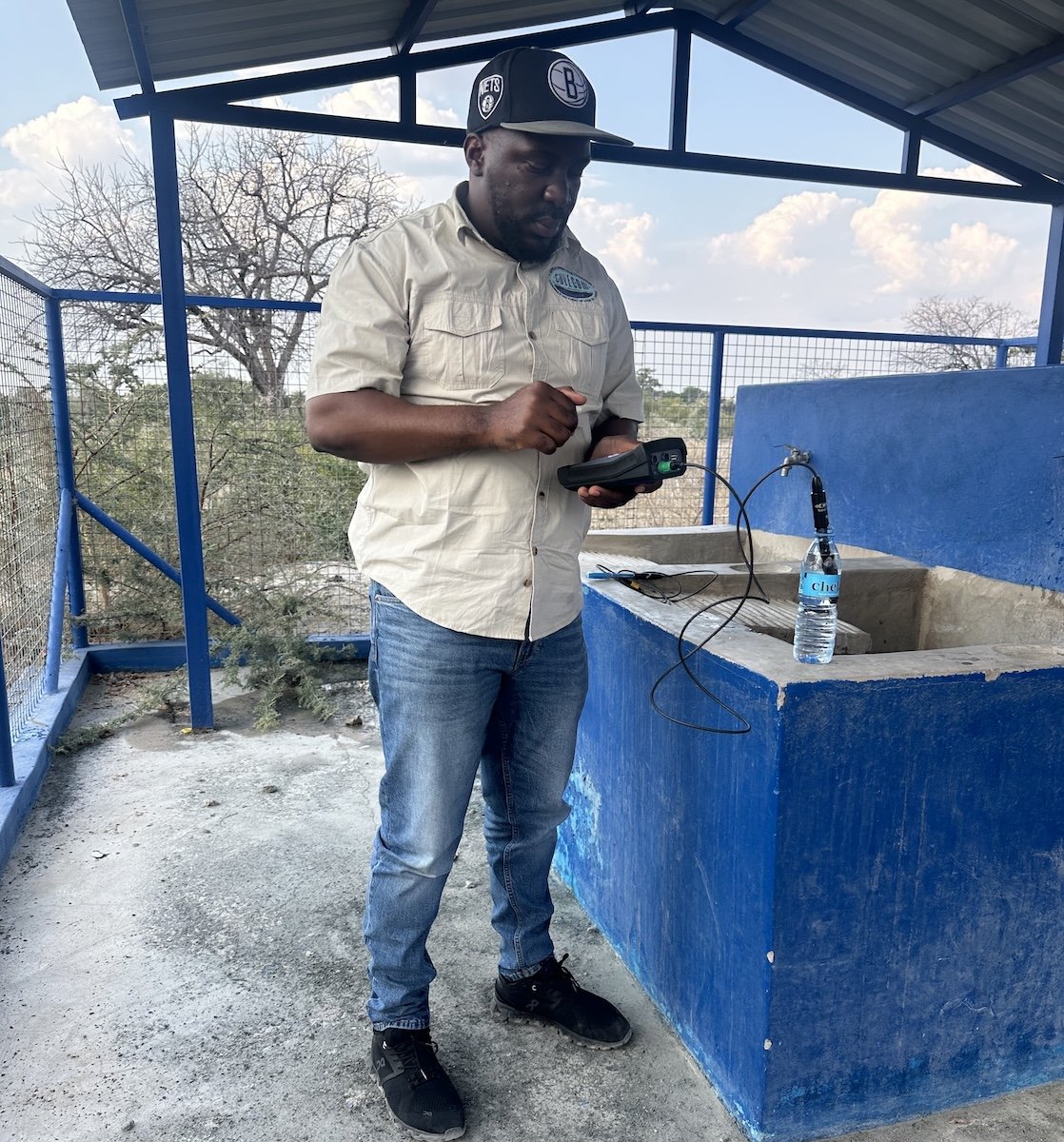
The mission established the foundation for a structured drilling programme. The Department of Water Affairs in Namibia recommended drilling at least three deep boreholes (exceeding 250 m) in the southeast of the basin to characterise the KOH2 aquifer, an area with a critical scarcity of information.
UNICEF and Acacia Water are advancing a parallel project to characterise the KH2 aquifer using three production boreholes, with geological data already preserved from a collapsed borehole and available to partners. A key proposal emerging from Luanda was the instrumentation of IGEO’s sealed deep boreholes with GABHIC’s observation piezometers, an action that would significantly expand the basin’s monitoring network at minimal cost.
Data Integration and Institutional Readiness
All the consulted institutions expressed a clear willingness to share data and collaborate. The RECLIMA project hydrogeologist made available approximately 40 GB of basin-related data. NAMWATER is developing both a Water Resources Management Master Plan and an Infrastructure Master Plan covering the Cuvelai Basin, with completion expected in the third quarter of 2026.
A draft Memorandum of Understanding between UNICEF and GABHIC is progressing, which would position GABHIC as the central hydrogeological data custodian for Angola. These developments establish a solid institutional framework for coordinated geophysical and drilling action.
Looking Ahead: What to Expect in June 2026
By June 2026, the Cuvelai-Etosha Basin Groundwater Project is expected to be in an active field investigation phase, building directly on the institutional groundwork laid during the September 2025 mission. Several key developments are anticipated:
Geophysical Surveys Underway. With data gaps identified and priority zones defined, geophysical field surveys are expected to be operational or in final preparation by June 2026. These surveys will focus on the southeast of the Cuvelai Basin, particularly targeting the KOH2 aquifer, and will generate the subsurface imaging required for precise borehole siting.
Drilling Campaign in Execution or Mobilisation. The joint technical mission proposed between CUVKUN, UNICEF/Acacia Water, GABHIC, and IGEO, originally planned for October to November 2025, will have concluded its in-situ technical assessments and lithostratigraphic validation. Based on those results, the investigation drilling programme targeting deep boreholes (250–350 m) in knowledge-gap areas should be in mobilisation or active drilling by June 2026.
Monitoring Network Expansion. Piezometer installations in both UNICEF’s production boreholes and IGEO’s previously sealed deep boreholes are expected to be complete or nearing completion. This will deliver a significantly expanded real-time groundwater monitoring network across both countries, feeding data into GABHIC’s centralised hydrogeological database.
Master Plans Available for Strategic Alignment. NAMWATER’s Water Resources Management Master Plan and Infrastructure Master Plan for the Cuvelai Basin are expected to be published in Q3 2026. Preliminary outputs should be available by June, enabling the CUVKUN Project to align its investment planning and drilling priorities with Namibia’s national water strategy.
Refined Conceptual Hydrogeological Model. The integration of PLANAGEO data from Angola with the Ohangwena aquifer studies from Namibia, combined with the new field data, should yield a substantially improved transboundary conceptual model, refining the understanding of the KO, KOH1, KOH2, and potentially KOH3 aquifer systems, including their recharge dynamics and leaky interconnections.
The September 2025 mission demonstrated that the knowledge infrastructure needed to advance groundwater investigations in the Cuvelai-Etosha Basin is within reach. Institutions on both sides of the border are engaged, datasets are identified, and the pathway from data mapping to geophysical survey and targeted drilling is clearly defined. June 2026 marks the transition from planning to field action.