In a bid to improve understanding of the Kunene River Basin’s hydrology, a comprehensive hydrological analysis was conducted in April 2026 under the project, “Enhanced Water Security and Community Resilience in the Adjacent Cuvelai and Kunene Transboundary River Basins (CUVKUN Project).” The project is funded by the Global Environment Facility (GEF) and led by the United Nations Development Programme (UNDP) as the GEF Implementing Agency. The Global Water Partnership Southern Africa (GWPSA) is the Executing Agency, while the Cuvelai Commission (CUVECOM) and Kunene Permanent Joint Technical Committee (PJTC) are the focal custodians of the project implementation.
PEGASYS was engaged to undertake the Kunene Hydrological Analysis through a ten-month assignment. The last comparable analysis was conducted in the 1960s.
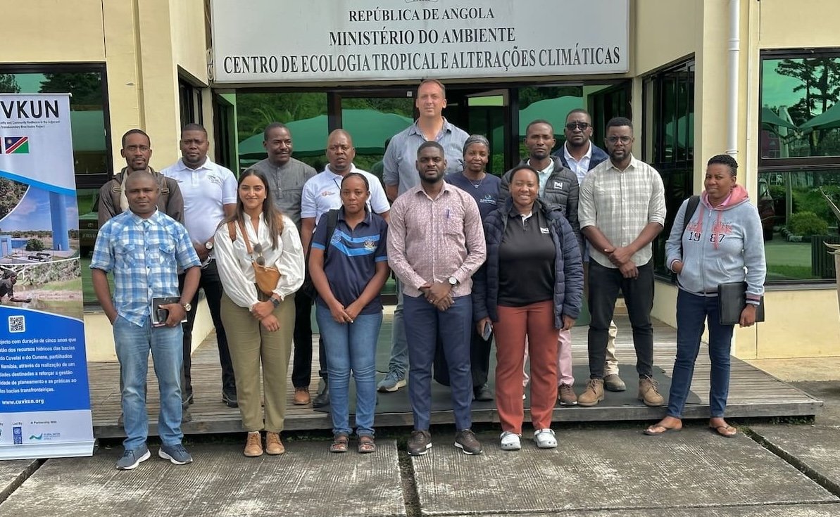
A participatory joint field mission conducted from 13 to 20 April 2026, was facilitated by CUVECOM and it brought together Task Force Calueque (TFC) members, GWPSA staff, and technical experts from PEGASYS. The mission was aimed at strengthening the understanding of hydrometeorological monitoring across the basin and to collect and verify key datasets required for configuring hydrological and yield models. The collaboration created a unique platform where institutional knowledge, technical expertise, and local operational insights could converge.
Across the basin, the team undertook a detailed assessment of hydrological and climatic monitoring systems, examining operating rules, flow release regimes, and the availability of key datasets. Particular attention was given to hydroclimatic records, streamflow data, and water-use information, critical inputs for configuring future hydrological and yield models. Through consultations with data custodians, the mission confirmed that many essential datasets exist and are accessible, laying a strong foundation for further analytical work.
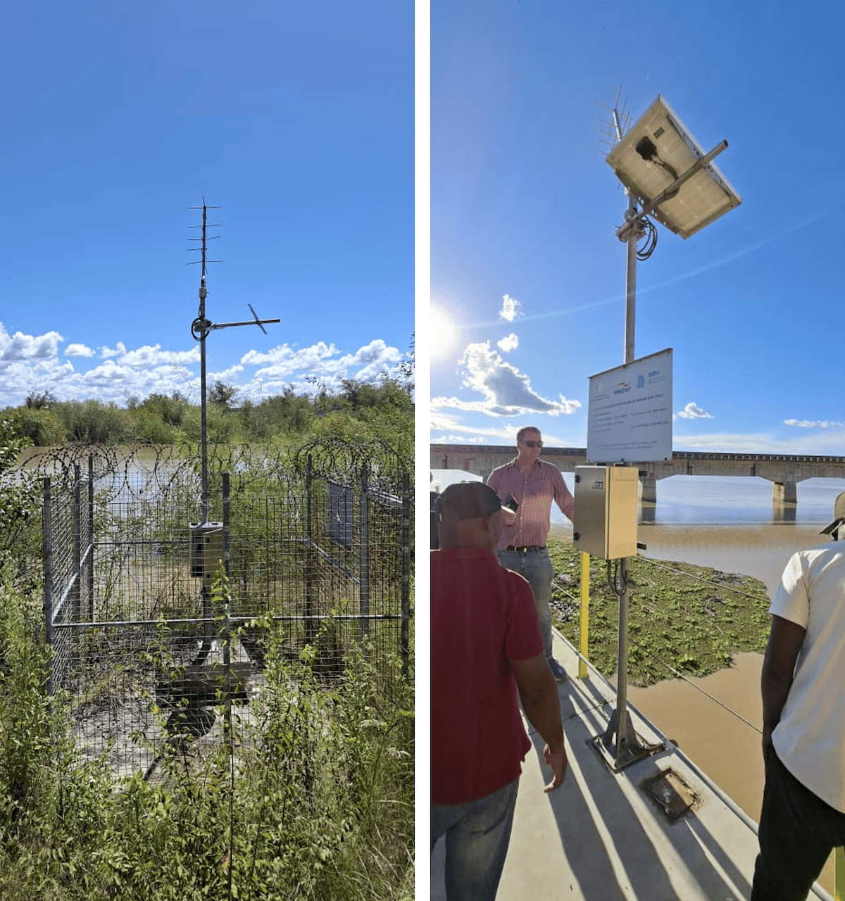
Beyond data collection, the field mission also provided an opportunity to observe the realities on the ground. The team assessed monitoring infrastructure, identified system upgrade requirements, and highlighted critical gaps in both data coverage and technical capacity. Sites with significant monitoring deficiencies were documented, offering clear direction for future investments in basin monitoring systems.
Importantly, the mission also strengthened stakeholder engagement across the basin. The team directly worked with those responsible for data generation and management for a deeper insight into institutional arrangements, operational challenges, and capacity-building needs. This collaborative approach ensured that the assessment was technical and grounded in the lived realities of basin management. This work lays the groundwork for enhanced modelling, future water development scenario analysis, and the creation of decision-support tools that will strengthen both planning and operational management.
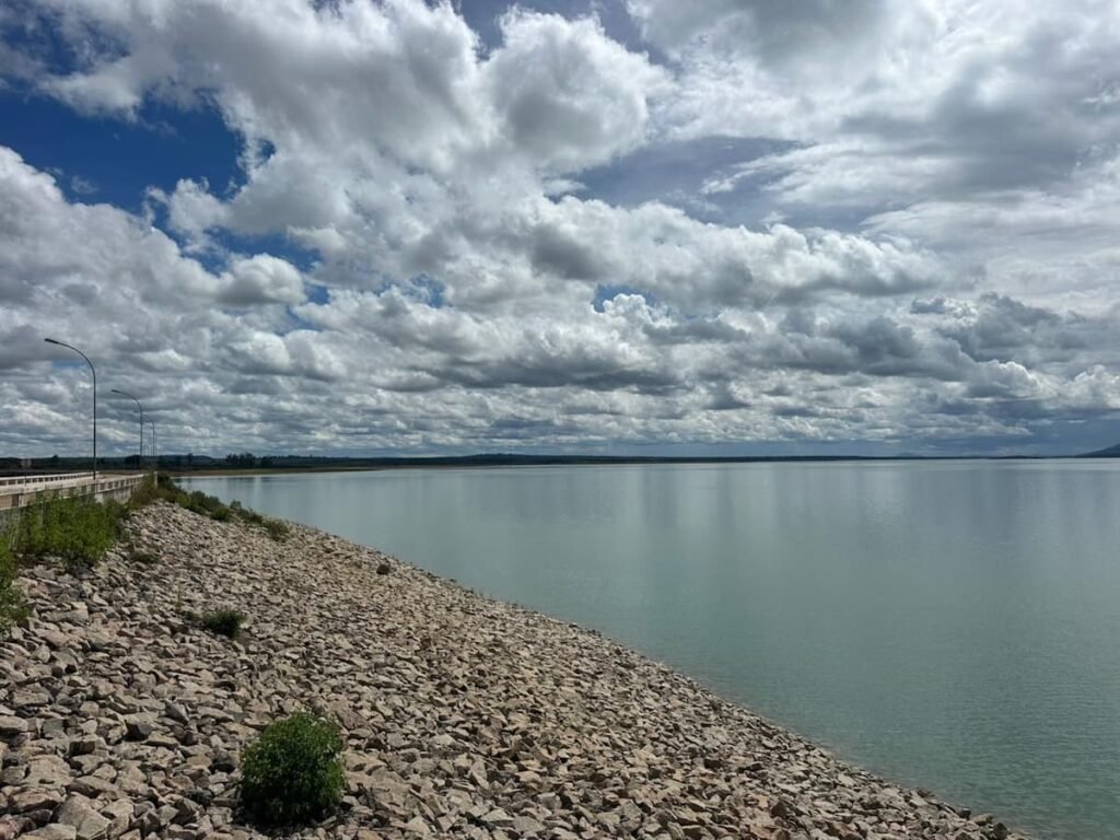
As a next step, PEGASYS will develop a Situational Assessment and Gap Analysis of Monitoring Networks Report. This report will provide a comprehensive, evidence-based review of existing hydro-meteorological monitoring systems, identifying key gaps in infrastructure, data availability, institutional coordination, and technical capacity.
The assessment findings will guide the next phase of interventions, including network modernization, data system strengthening, and advanced hydrological modelling, ensuring that future decisions for the Kunene Basin are informed, resilient, and sustainable.