Efforts to improve water security and climate resilience in the Cuvelai and Kunene transboundary river basins have been reinforced through Geographic Information System (GIS) and Remote Sensing short courses conducted in Angola and Namibia. The training focused on strengthening technical capacity for Integrated Water Resources Management (IWRM).
The trainings were held under the CUVKUN project, known in full as the “Enhanced Water Security and Community Resilience in the Adjacent Cuvelai and Kunene Transboundary River Basins (CUVKUN)”, which is funded by the Global Environment Facility (GEF) and led by the United Nations Development Programme (UNDP) as the GEF Implementing Agency. The Global Water Partnership Southern Africa (GWPSA) is the Executing Agency, while the Cuvelai Commission (CUVECOM) and Kunene Permanent Joint Technical Committee (PJTC) are the focal custodians of the project implementation.
The first training was conducted from 18th – 21st March 2026 in Huambo, Angola, hosted at CETAC. It brought together participants from key national institutions including GABHIC, INRH, CETAC, and the National Space Program.
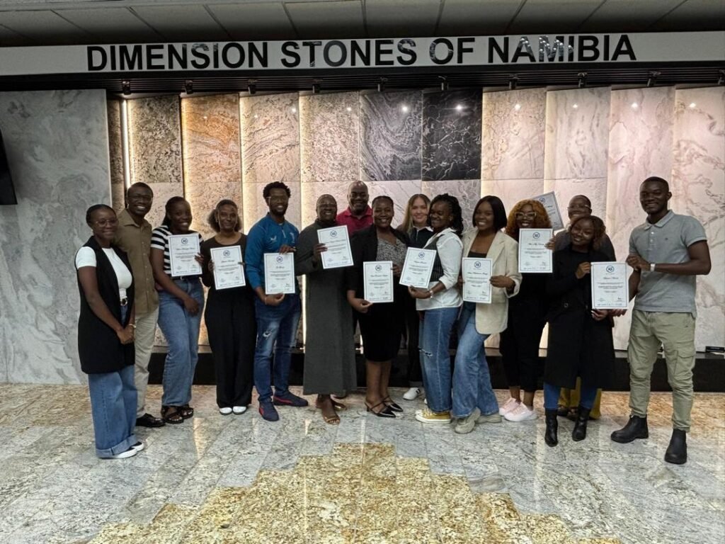
The second training was held from 14th –17th April 2026 in Windhoek, Namibia. The workshop focused on equipping participants with practical GIS and Remote Sensing skills for water resource planning, environmental monitoring, and disaster risk reduction. It strengthened both technical and institutional capacity in the application of GIS and Remote Sensing for sustainable water management.
Participants engaged in both theoretical and practical sessions covering spatial data analysis, satellite image processing, and hydrological applications. A notable component was the use of real-world case studies, including analysis of land use around the source of the Kunene River, where potential risks to water sustainability were identified.
Through this applied approach, participants developed skills in producing thematic maps, analyzing environmental data, and applying classification techniques to support decision-making.
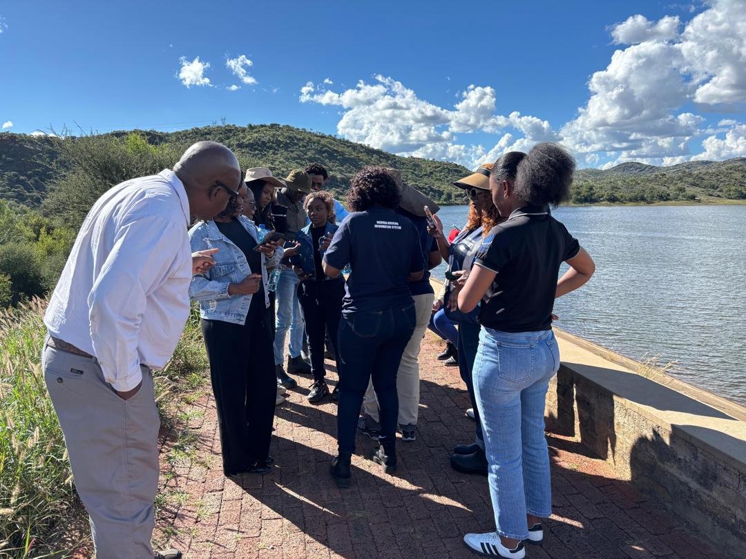
The programme covered GIS fundamentals, watershed analysis, field data collection using QField, satellite image processing, and hazard mapping. A fieldwork component enabled participants to collect GPS data, linking theory with practice.
By the end of the training, participants were able to map flood- and drought-prone areas, conduct hydrological analyses, and support decision-making using spatial data.
Across both trainings, participants strengthened their ability to apply GIS and Remote Sensing tools in water resource management. Key outcomes included improved spatial data analysis, development of geospatial products, and enhanced collaboration among institutions across the transboundary basin. These outcomes contribute to sustainable water management, improved disaster preparedness, and increased climate resilience in the region.
The knowledge gained through these trainings is expected to support practical applications such as basin planning, hazard mapping, and improved responses to droughts and floods. Ultimately, these efforts benefit communities where water resources are essential for livelihoods and agriculture.